
This area of our website contains key strategic tools for Emergency Communications operation. The ARRL’s QST magazine features an article, “For Better EmComm Preparation, Use Online Resources on Your ARES Team Website,” in the July 2026 issue. It was written by JMARC Board Member Frank K4FMH and Chris AF5OQ, President of the Vicksburg (MS) Amateur Radio Club. It establishes some best practices for EmComm teams to provide useful area intelligence to served agencies.
We provide many of those resources here for JMARC members and other groups in the area to use in emergency communications activities.
JMARC Emergency Nets
The Capital Area Emergency Net is conducted on our 2 meter repeater at 146.76 on Sundays at 8:30pm.
The Jackson Metro ARES Net is held on three repeaters on Mondays at 8:00pm.
Emergency Management Agency

JMARC supports the statewide emergency management agency, MEMA, located in South Jackson. The website for MEMA’s Operations Emergency Center (EOC) is located here. Contacts for each county is here.
We collaborate with other clubs in the area to provide communications and other support during declared emergency conditions.
Skywarn-Jackson
The Skywarn program is the result of an MOU between the National Weather Service-Jackson Office and the Jackson Metro Amateur Radio Club. When SKYWARN-Jackson is activated and at other times as necessary. The official MOU between the ARRL and the National Weather Service can be found here. See this link for the Skywarn website. The Net Control script for our Skywarn activation is here.
Weather/Flood Map-Jackson Area
Here are several resources to monitor weather and flooding information for the Vicksburg and surrounding areas. This link contains websites and data for major weather and flooding events from NWS according to the selected place entered into the Search box.
Area TV Station Weather
Monitoring the websites of area television station’s weather page can be very useful. Some have storm tracking teams with live video as needed to give unique information on events at a specific location. Click here to go to our page with embedded web links to television stations in the larger Jackson area and their weather information pages.
MS & LA Traffic Cameras
Live video and still picture feeds from specific traffic cameras operated by the Mississippi Department of Transportation can give remote intelligence on weather and other emergency conditions. Select this link to be transferred to that MDOT page. Select this link to be transferred to the LA DOTD page.
Power Outages
For this area of Mississippi and Louisiana, there are two online sources of power outages. One is from the major electric supplier, Entergy, and the other is from a data aggregator, Poweroutage.us.
Entergy gives detailed, address-specific locations with a map legend for power outages for their customers. Click here to be transferred to the Entergy outage map.
Poweroutage.us gives total outages for specific areas but not a detailed map. They charge for access to more detailed data but there are API and CSV export features for the data-analytic ham operators. Click here to be transferred to the Poweroutage.us website.
Census Bureau Emergency Response
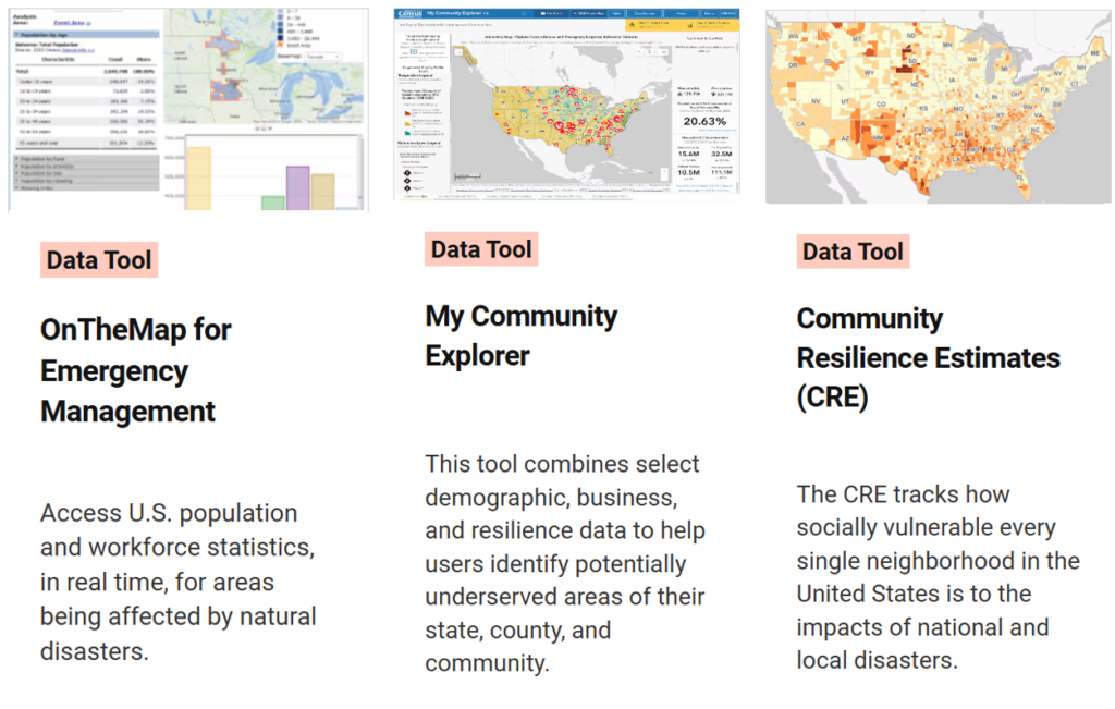
The U.S. Census Bureau maintains several online tools to facilitate emergency response in times of disaster. Click here to go to the JMARC’s Census Emergency Resonse page.
Jackson Metro Area Ham Operators
To identify the location of area amateur radio operators in the Jackson Metro Area, this external website contains an excellent and maintained website of FCC ULS license holders. Select this link to be transferred to that website. The grid square can be entered to overview most of the City of Jackson by entering EM42vh in the appropriate box. A specific call sign or zip code are alternative search tools. Using the interactive map, the user can interactively navigate this map tool to display the FCC ULS record for individual licensed hams.
Buildings: National Structure Inventory
An NSI interactive map is maintained by Arcgis.com. It can be a critical resource for monitoring damage during a natural disaster. By default, the map view centers on Washington, D.C. The viewer will need to navigate westward and zoom into Jackson MS as desired. Turn on the features and labels on the left hand panel to see area NSI entities if necessary. The legend on the right panel will show the type of building structure at each location. In addition, learning how to add additional layers, especially weather monitoring, is a valuable skill to acquire for EmComm value-addition to served agencies. To view the NSI interactive map, click here.
For more technical details, see the National Structure Inventory page maintained by the U.S. Army here.
National Traffic System Interactive Forms